Enabling transparency, ethics, and sustainability in mining
Emstree maintains a public environmental record linking mine profiles, recorded change, operator context, and restoration commitments.
Responsible operators can provide context, evidence, and restoration commitments to the public record.
Public environmental record
Mine sites linked to recorded observations, operator context, and restoration records.
Mine profiles
Observation layers
Observation layer
Recorded environmental signals tied directly to mapped mine sites and review history.
Operator context
A route for operators to add evidence, explanation, and reporting alongside the public record.
National dashboard
Mining and landscape indicators
Loading national metrics from the monitoring database.
How the platform holds together
Observation, context, and restoration in one record
Emstree is built around the mine profile. The map records landscape change over time, operators can submit context and evidence alongside that record, and restoration remains connected to the same system.
Mine Impact Map
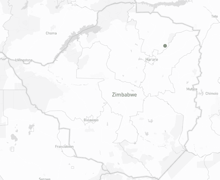
The map is the centre of Emstree. It maintains a public environmental record linking mine locations, operational boundaries, observed change, operator context, and official notices.
View Mine Impact MapMine Profiles
Each mine profile functions as a site-level record, bringing together operating context, observation history, imagery review, notices, and operator submissions over time.
Browse mine profilesOperator Participation
Operators may claim their profiles, attach supporting evidence, respond to observations, and submit reporting alongside the record. The record itself remains public and independent.
Claim your mine profileRestoration Pathways
Restoration commitments belong alongside operational impact. Tree planting and recovery programmes remain connected to the same public system that records landscape change.
Explore restoration options